We can tell you why a river looks and functions as it does.
Where is the sediment coming from? Why is there such poor spawning habitat here? Can we lower water temperatures?
These are great questions. We can help you answer them. Completing an assessment is the first step when planning river projects. We can help you understand what a river used to look like, why it changed and in what direction it is going. By developing this perspective, restoration projects can be planned that directly address goals and sustain function.
Common goals of assessments
Identify sediment sources and sedimentation impacts
Assess physical habitat quality and potential
Estimate river migration patterns to understand impacts to roads, homes, businesses, etc.
Rank and prioritize projects to achieve watershed goals
Tools we use for assessments
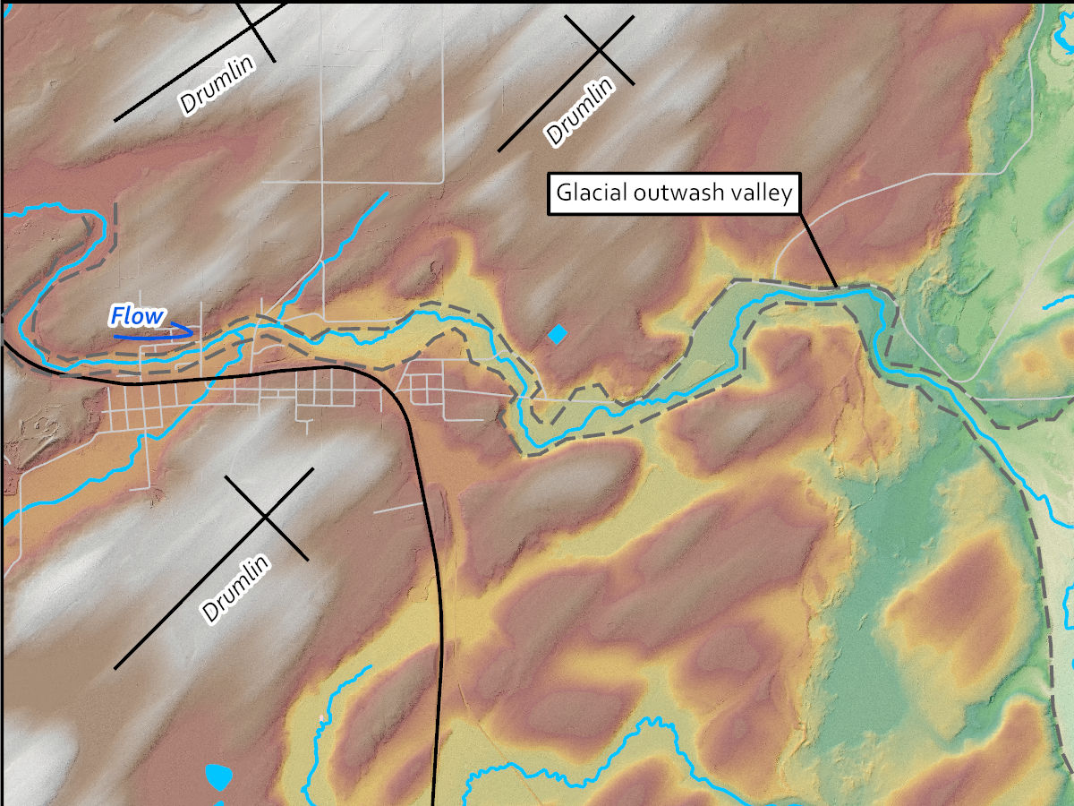
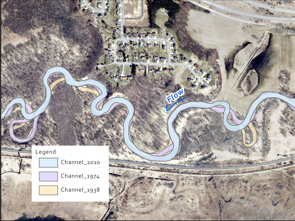
Historical air photos and maps to track and project channel migration
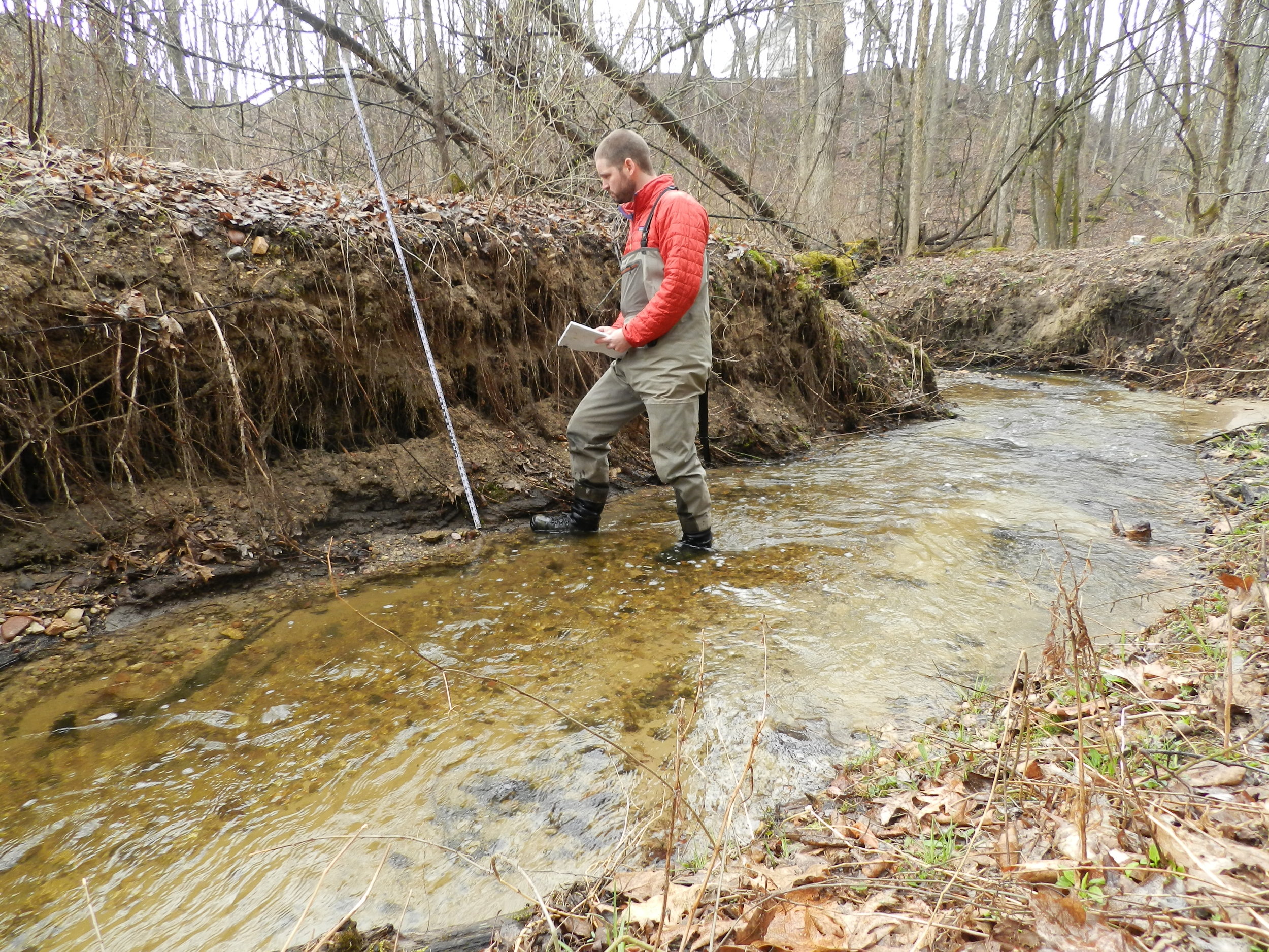
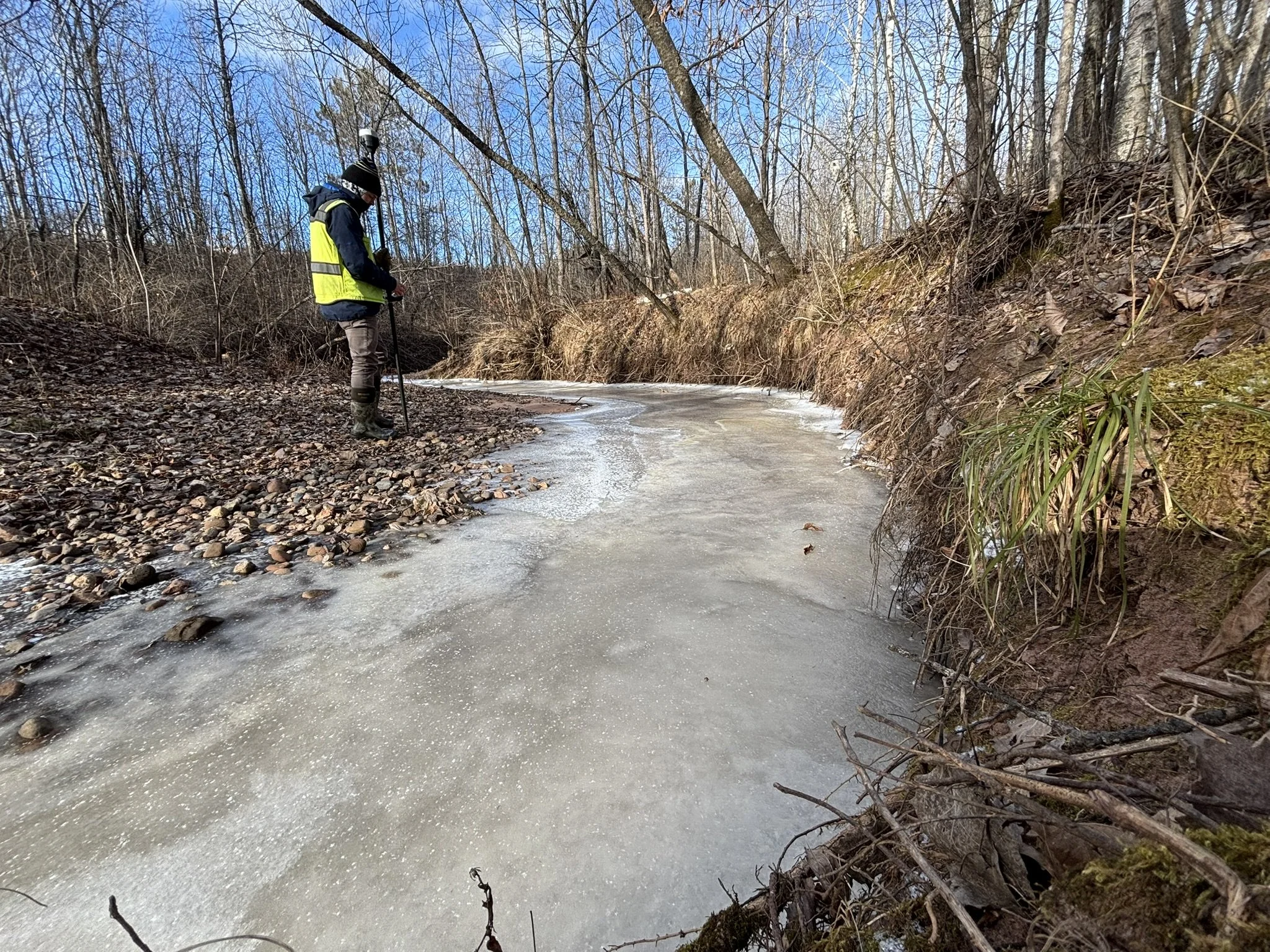
Topographic and bathymetric surveying to document channel forms
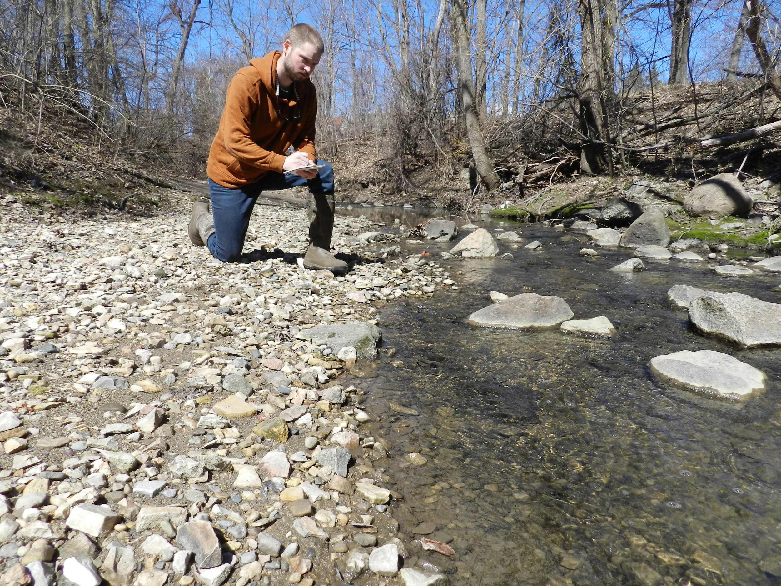
Fine sediment depth and distribution measurement
Tree and vegetation growth analyses to interpret channel movement
Channel bank sediment sampling and modeling to estimate erosion rates
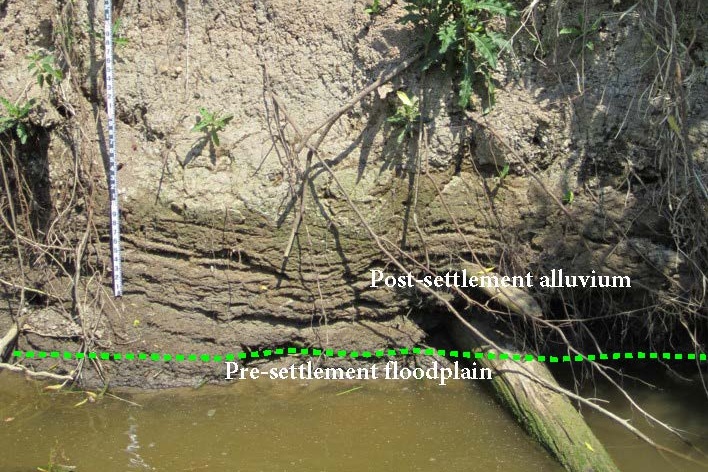
Floodplain sediment layering (alluvial chronology) documentation
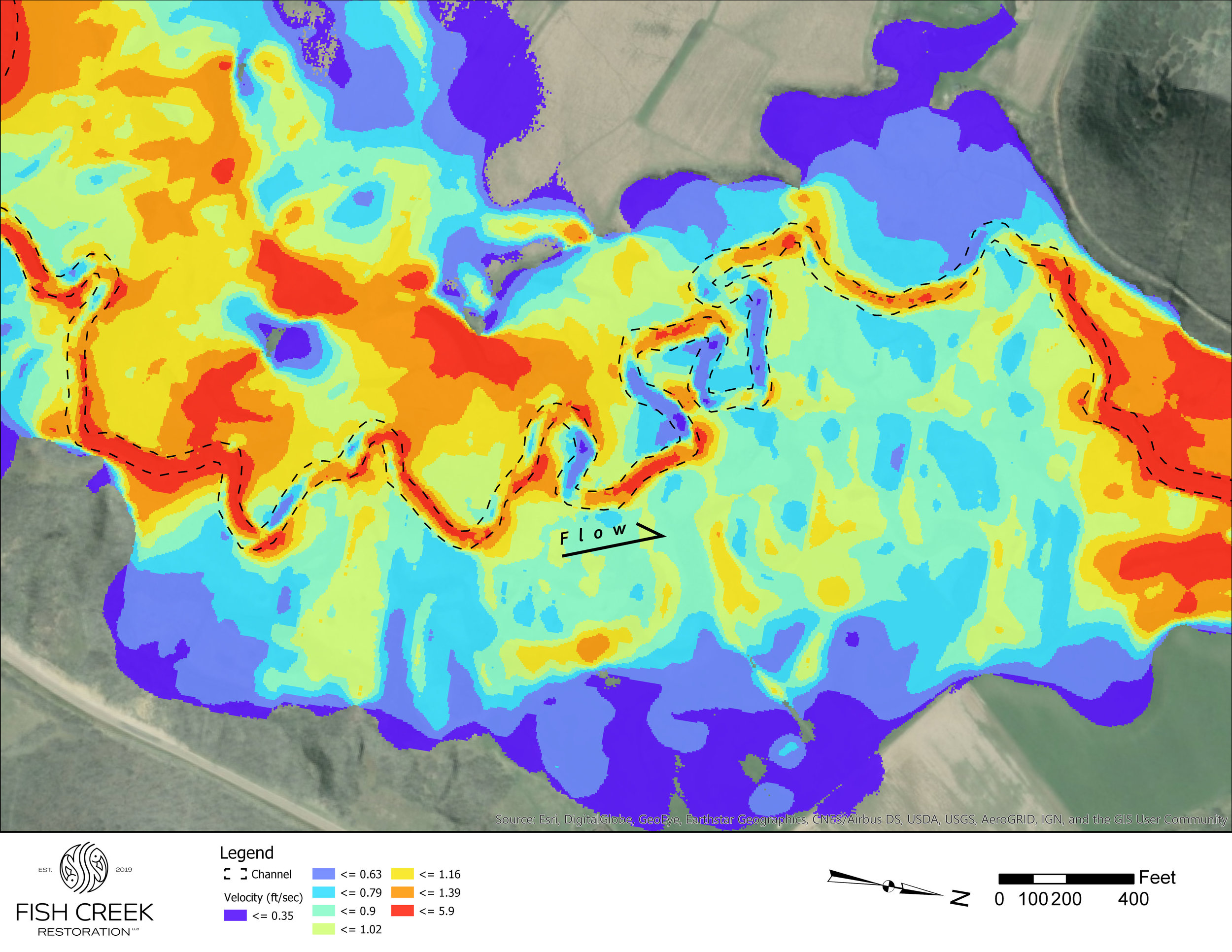
Hydraulic models (1-dimensional and 2-dimensional) and sediment transport continuity